
Where: Nathrop, Colorado (coordinates: 38.740282, -106.161237)
Distance: 33 miles
Elevation gain: 7,000’
High Point: 13,100’
Low Point: 8,150’
Average elevation: 9800'
Trail type: 22 miles of singletrack, 4.5 miles of pavement, 4 miles of mining roads, 2.5 miles of gravel roads
Cutoff: 11 hours
Course description and directions
Start - Raspberry 1 (0.0 - 7.3 miles)
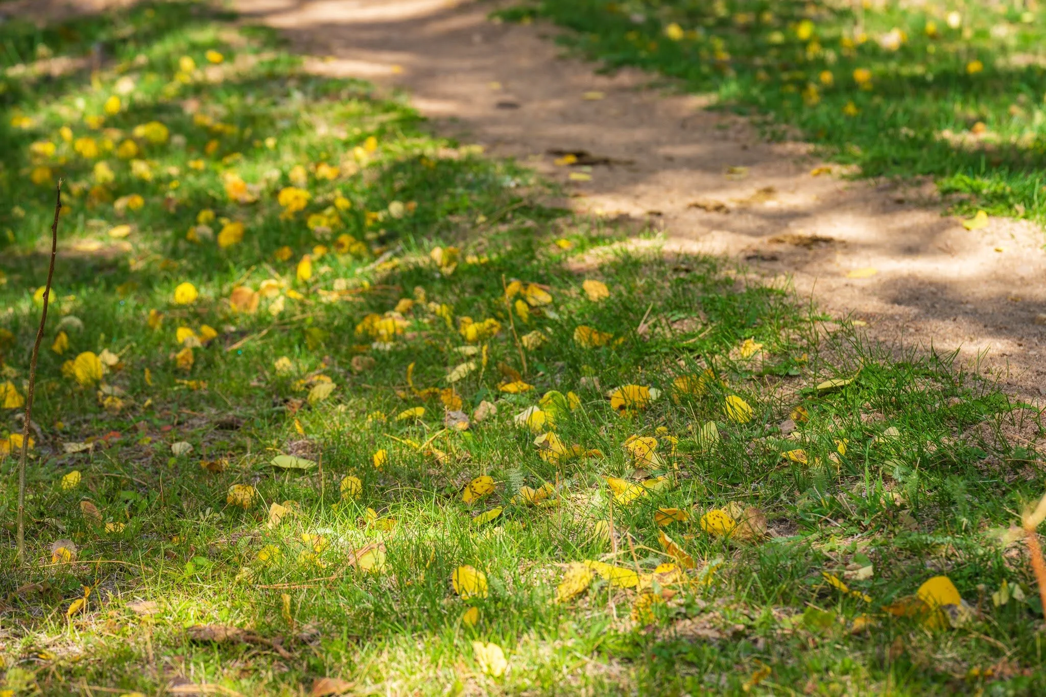
Runners start in a large, open field just off of CR 321 (38.740282, -106.161237) at the start/finish chute. A 1/3 of a mile through the field (watch your ankles) and you’ll turn left (south) onto the paved CR 321. The road makes a large switchback and drops several hundred feet before intersecting with CR 162. Turn right (west) and head up Chalk Creek, being careful to watch for oncoming cars…it’s a popular tourist road. After about a mile, turn left (southwest) onto the gravel CR 290 and climb quickly to an old railroad grade. After about a mile, you’ll reach the intersection with the Colorado Trail. The singletrack begins with a STEEP ~700’ climb out of the valley. After a brief stint on a small ridge, you’ll drop into buttery and cruiser singletrack in a mixed aspen and ponderosa forest. After a few more miles, you’ll descend a small ridge to drop into Raspberry 1.
Raspberry 1 - Skyline (7.3 - 18 miles)
The next mile or so of the Colorado Trail is full of small glades and meadows with excellent views of Little Browns. Go through a small gate (make sure to close it!) and begin to climb. After a mile, you’ll reach the junction of the Colorado Trail and Little Browns Creek Trail. Turn left to stay on the CT (you’ll be coming down Little Browns in a few hours) and run to another junction with the Browns Creek Trail. Turn right (or more accurately stay right on the CT) and go a few hundred yards before reaching another junction. Turn right on the Browns Creek Trail and enjoy 2 miles of easy running. Once you reach the waterfall, you’ll begin the climb in earnest. Eventually, you’ll reach Browns Lake and you’ll pass the lake on the north shoreline. Shortly after passing the lake, you’ll pick up an old mining road - FS 278 - which climbs consistently at first, then gets steeper as it leaves the treeline. You’ll hit a large switchback which brings you up the large alpine plateau and within sight of the Skyline aid station. Continue up the road to reach the high point of the course and the aid station!
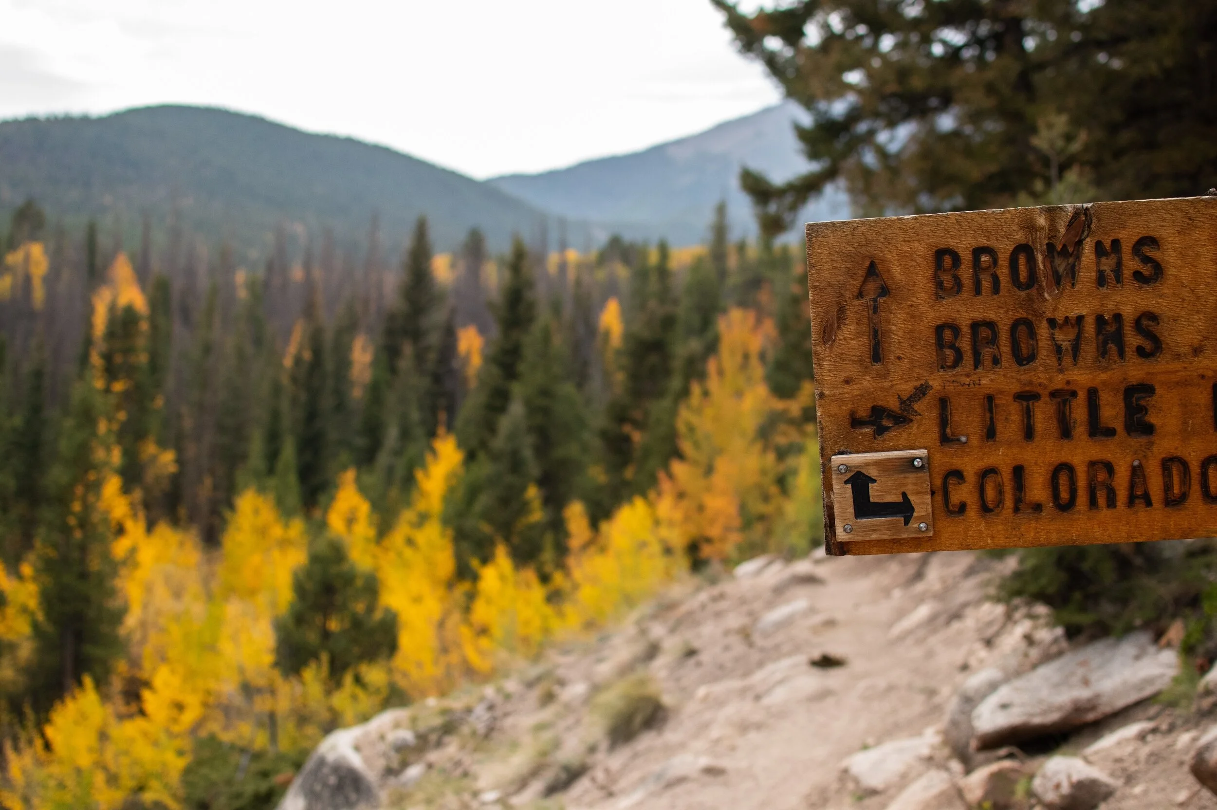
Skyline - Raspberry 2 (18 - 25.7 miles)
From the aid station, turn east and head towards Little Browns on FS 278B. This area has a lot of mining roads and can be a little tricky to follow. The hardest part is making the turn onto the Little Browns Creek Trail as the singletrack doesn’t actually make it to the road. During the race you’ll see plenty of flagging and shouldn’t have any issue. After about 300 yards, the trail reappears and you can start to bomb downhill! Little Browns is steeper than Browns and sees a fraction of the traffic. As such, it’s a fantastic trail that should provide plenty of solitude. Eventually, you’ll reach the junction with the Colorado Trail, and you’ll turn left (north) and head back towards Raspberry. There’s still more downhill and the meadows before you reach Raspberry 2. You’ll be able to meet your crew here if you have one.
Raspberry 2 - Finish (25.7- 33 miles)
While you’ve already done this section once, it feels very different on the return journey. You’ll notice the slight but unrelenting uphill grade, the frequent small rollers, and finally a short - but steep - climb to get onto the small ridge. From here, you get excellent views of the Chalk Cliffs, Mount Princeton, and the finish line. Run the ridge before dropping into the steep descent back to CR 290. Turn right, and try to maximize the steady downhill grade on the easy gravel road. Once you reach CR 162 (paved) turn right and take advantage of the last downhill on the course! Watch out for cars as there will certainly be more traffic than there was at the start. Just before reaching the Mt Princeton Hot Springs, turn left and head up the large paved switchback. Affectionally dubbed “Swear Hill” by the High Lonesome 100 runners (because you can sometimes hear the curses floating up from the hill to the finish line), the hill is only a few hundred feet tall and has sweeping views. Try to keep your speed and look around! Once you reach the top, you have about 1/2 mile to the finish line. Make the turn back into the field, follow the flags, and cross the finish line!